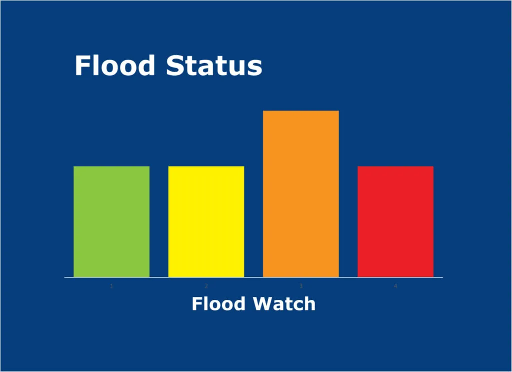
Flood Watch Overview
A Flood Watch has been issued for Dayton and Cincinnati, highlighting the potential for significant flooding due to expected heavy rainfall. The watch is in effect from 7 PM this evening through 10 AM Wednesday morning.
Causes of the Flood Watch
The National Weather Service has attributed the Flood Watch to a warm front stalling in southern Indiana, which is expected to bring multiple rounds of rain and storms to the region. Heavy rain is anticipated through Wednesday, with forecasts suggesting that more than 2 inches of rain could fall in the heaviest bands.
Impact on Local Areas
The Flood Watch also encompasses Jackson, Jennings, Lawrence, and Carroll counties, indicating a broader area of concern for potential flooding. Even areas that have previously experienced dry conditions may see some flooding as roadways could become covered in water or ponded.
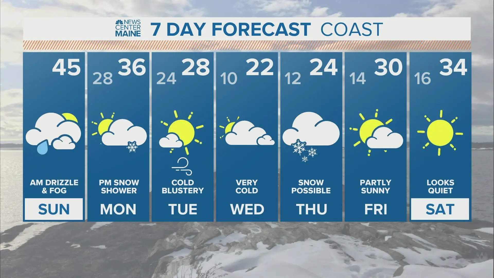
Weather Forecast
Tonight’s low temperature is expected to be around 44°F, while Wednesday may see a high of 59°F. Following this, temperatures are projected to rise to 67°F on Thursday and 75°F on Friday, which could further influence weather patterns in the region.
Public Safety Advisory
Residents are advised to exercise caution during this period. “If you come across a flooded road, find another way around,” officials have stated. Additionally, they urge the public to pay attention to official updates regarding flood levels, as conditions may change rapidly.
Looking Ahead
Details remain unconfirmed regarding the exact impact of the rainfall and the extent of flooding that may occur. However, the situation is being closely monitored by local authorities and the National Weather Service, with updates expected as the weather develops.