Severe Weather Radar Update
The Chicago area is facing an elevated risk of severe weather on Tuesday evening, March 10, 2026. Intense storms capable of producing tornadoes, large hail, and fierce winds are expected to develop as the day progresses.
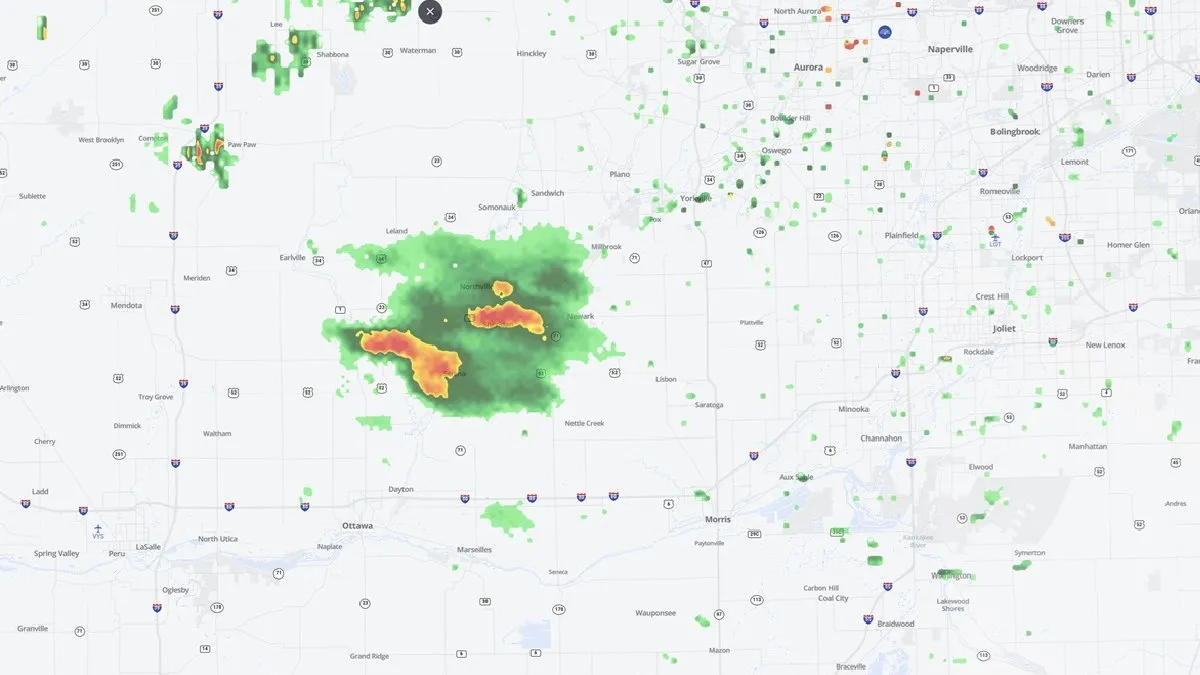
Grundy, LaSalle, and Will counties have been upgraded to a ‘moderate’ risk for severe weather, while a large part of Cook County is under an ‘enhanced’ risk. Areas near and south of I-80, including Joliet, Frankfort, Morris, and Kankakee, could see the strongest storms.
The earliest chance for showers and storms to begin will be around 3 p.m. A line of showers and storms that could produce severe weather is anticipated to arrive around 7 or 8 p.m. Severe weather is expected to continue through midweek, raising concerns for residents in the affected areas.
In addition to the immediate risks, tornadoes, damaging winds, and large hail are also possible for parts of the South, Plains, and Midwest. This severe weather outbreak follows another round of storms that impacted the region last week.
CAPE, which measures the amount of instability in the atmosphere, is essential for thunderstorm development, while wind shear is a key ingredient in the formation of severe storms. Caitlin Kaiser, a digital meteorologist with weather.com, has emphasized the importance of monitoring these conditions as they evolve.
As the situation develops, local authorities and meteorologists are urging residents to stay informed and prepared for potential severe weather. Details remain unconfirmed as the forecast continues to be updated.