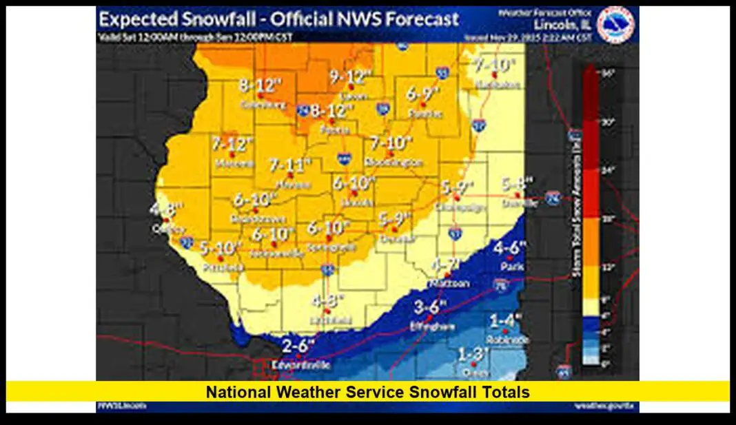
A late-season winter storm is set to bring unprecedented snowfall and dangerous driving conditions to the Sierra Nevada region starting Sunday evening. The storm will peak on Monday and taper off by Tuesday afternoon.
A powerful late-season winter storm is expected to hit US Western States, particularly the Sierra Nevada. The storm is predicted to bring heavy snow totals of up to 4 feet.
Wind gusts are forecasted to reach between 50-70 MPH along the Sierra crest, with local gusts hitting up to 80 MPH. Snow levels will drop from 7,000 feet down to as low as 4,500 feet.
Key impacts:
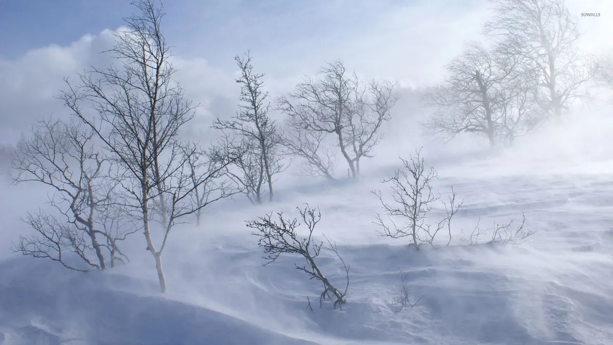
- The storm is expected to bring blizzard conditions.
- Chain requirements will likely begin for most vehicles at elevations above 5,000 feet.
- I-80 and Highway 50 may face multi-hour closures from Sunday night into Monday.
Temperatures will remain below freezing for most of the week, limiting snow melt. As a result, road closures could extend beyond the storm’s end.
Experts advise drivers to follow winter driving tips. They stress the importance of clearing snow and ice from vehicles before hitting the road. Officials warned that specific mountain passes like I-80 (Donner Pass) carry very high risk during this time.
The cleanup process isn’t getting much help from the forecast. Conditions may worsen before they improve as temperatures stay low throughout the week.