What to Expect from the Upcoming Snowfall
A winter weather advisory will go into effect for the next 24 hours starting midnight Thursday for several regions in Colorado, including the High Mountain Parks, the Front Range Foothills, the Park Range mountains, and the Palmer Divide. This advisory comes as a significant snowfall weather forecast predicts between 3 inches and up to a foot of snow for the area, with the heaviest amounts expected to fall in the southern foothills.
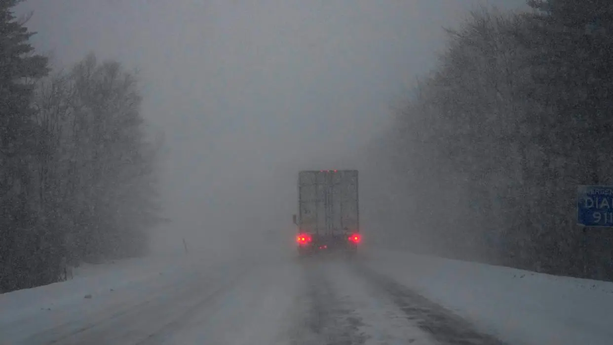
In addition to the advisory, a winter storm warning will be in effect from midnight Thursday through midnight Friday for the Front Range mountains, the Medicine Bow Range, the mountains of Summit County, and the Mosquito Range. Localized snowfall rates of 1-2 inches per hour can be expected under the heaviest showers and snow bands, indicating a potentially challenging situation for those traveling in these areas.
Current Conditions and Historical Context
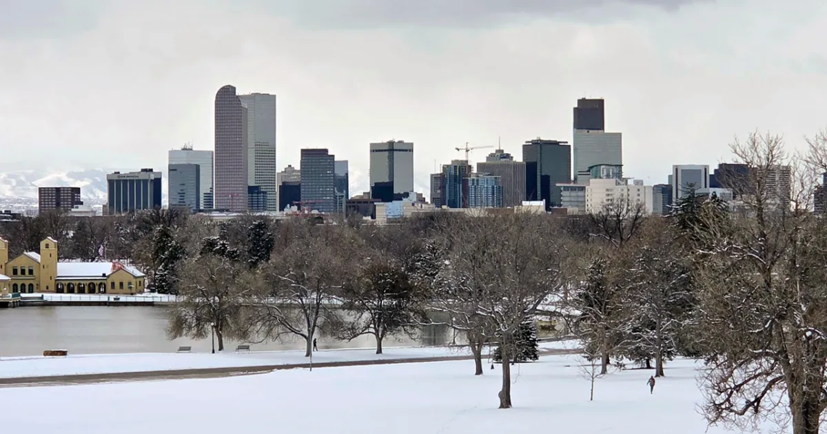
For Denver, forecasts suggest between a trace to 2 inches of snow, a notable change from the last measurable snowfall, which occurred on January 25. This upcoming weather event is particularly significant given the recent warm temperatures, with highs on Friday for the I-25 corridor expected to be in the mid to upper 30s. Stacey Donaldson, a local meteorologist, remarked, “Overall, it looks like light amounts of snowfall … should be pretty slushy here for our area; it’s just been so warm lately.” This highlights the contrast between the recent weather patterns and the impending winter conditions.
As the snowfall begins, commuters in Denver and surrounding areas are advised to prepare for slick conditions in the morning. The combination of snow accumulation and residual warmth from recent weather may create slushy and hazardous travel conditions. The National Weather Service has emphasized the importance of caution for those planning to travel during this period.
Looking Ahead
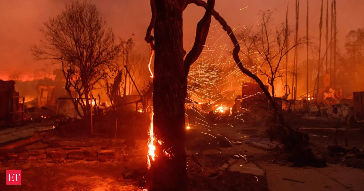
Following the snowfall, milder and drier weather is expected to return on Saturday, with a forecasted high of 50 degrees. This shift in weather may provide some relief after the storm, but it also underscores the unpredictable nature of Colorado’s weather, which can rapidly transition from critical fire danger conditions to heavy snowfall.
As the situation develops, residents and travelers should stay informed about the latest weather updates and advisories. Details remain unconfirmed regarding the exact timing and intensity of the snowfall, but the potential for significant accumulation is clear. The community is urged to remain vigilant and prepared for the impacts of this winter weather event.