Before March 16, 2026, Delaware residents were under a tornado watch, indicating that conditions were favorable for tornado formation. However, the situation escalated dramatically when severe storms moved into the state around 2 p.m., prompting immediate concerns for public safety.
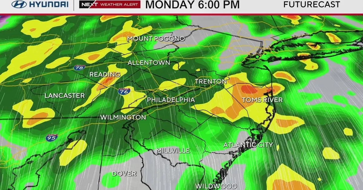
As the storms approached, the National Weather Service issued a tornado warning, signaling that a tornado had been spotted or detected on radar. This marked a decisive moment, as the risk of tornadoes increased significantly, particularly along Interstate 95 and southwest of I-95.
By the evening, the peak of the severe weather was anticipated between 5 and 11 p.m., with strong wind gusts expected to reach up to 50 mph. Thousands of customers experienced power outages as the storms intensified, highlighting the direct impact on the community.
Despite the tornado warning, the risk began to decrease in the northwest and southeast areas of Delaware. However, the ongoing wind advisory, which remains in effect until 2 a.m. on March 17, 2026, continues to pose a threat with potential gusts reaching 70 mph.
In addition to the wind, the storms are projected to bring between a quarter to an inch of rain throughout the state, further complicating the situation for residents. The National Weather Service emphasizes the importance of preparedness during such severe weather events, providing an extensive list of tornado safety tips on its website.
As the evening unfolds, the community remains on alert, with emergency services prepared to respond to any incidents resulting from the severe weather. The situation serves as a reminder of the unpredictable nature of tornadoes, which can occur at any time and have been documented in all 50 states.
Details remain unconfirmed regarding the extent of damage or injuries caused by the storms, but the impact on daily life in Delaware is evident as residents navigate the aftermath of this weather event.