Who is involved
In recent years, Central North Carolina has experienced relatively calm weather patterns, with residents accustomed to mild storms and occasional rain. However, the situation took a dramatic turn as meteorologists issued a Level 4 of 5 severe storm risk for the region, a classification that has not been seen since March 2021. This heightened alert has prompted local authorities and weather services to prepare for potentially severe weather conditions.
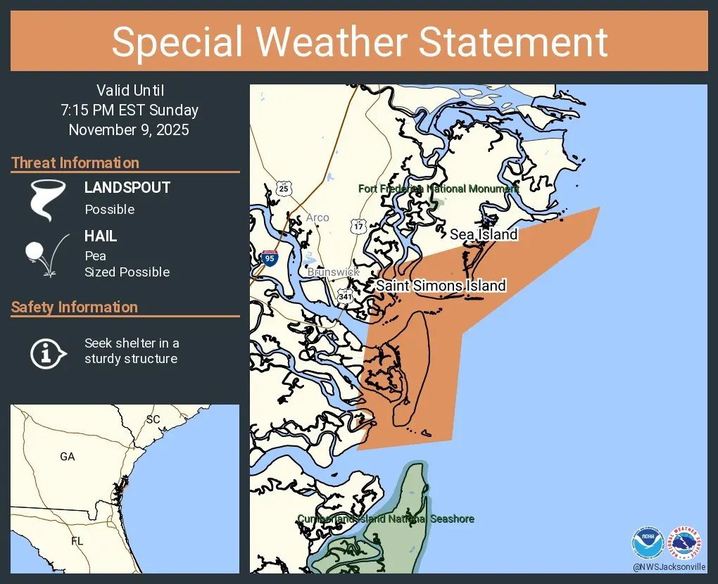
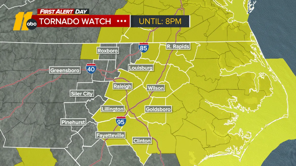
The decisive moment came when a Tornado Watch was announced for parts of central NC, including the Triangle area, indicating that conditions were favorable for tornado development. Alongside this, damaging wind gusts were forecasted, with speeds reaching up to 40 mph throughout the day, even in areas not directly impacted by storms. The National Weather Service highlighted that the severe storm risk would persist until sunset on Monday, with lingering showers expected to taper off before midnight.
As the warnings were issued, the immediate effects were felt across the region. A tornado warning specifically for northern Moore County was set until 11 a.m., signaling an urgent need for residents to seek shelter. Schools in several districts announced closures for Monday, prioritizing student safety amid the storm threats. The potential for wind damage loomed large, with gusts forecasted to reach between 55-75 mph, raising concerns about downed trees and power lines.
Experts emphasized the seriousness of the situation. WRAL meteorologist Elizabeth Gardner noted, “For the first time in five years, our area is under a Level 4 risk out of 5,” underscoring the rarity and severity of the current weather threat. This statement reflects a significant shift from the previous expectation of milder weather, leaving residents to grapple with the potential for destructive storms.
In addition to the tornado watch, meteorologists warned that if thunder is heard, individuals should remain indoors. WRAL meteorologist Aimee Wilmoth stated, “If you hear thunder you need to be inside,” reinforcing the necessity for caution as the storm system approaches. The community is urged to stay informed and prepared as the situation develops.
The last time Central North Carolina faced a Level 4 risk was in March 2021, making this event particularly noteworthy. The historical context adds weight to the current warnings, as residents reflect on past experiences with severe weather. The anticipation of damaging winds and the possibility of long-track tornadoes have heightened anxiety among those living in affected areas.
As the day progresses, the focus remains on monitoring the storm’s trajectory and its impact on local communities. Emergency services are on high alert, ready to respond to any incidents that may arise from the severe weather. With the storm risk expected to diminish by sunset, the community is left to navigate the immediate challenges posed by this unexpected turn in weather conditions.
Details remain unconfirmed regarding the extent of damage or any incidents resulting from the storm as authorities continue to assess the situation. The evolving nature of the weather event serves as a reminder of the unpredictability of severe storms and the importance of preparedness in the face of such threats.