A tornado watch has been issued for much of Southeast Pennsylvania, New Jersey, and Delaware until 7 p.m. on Monday, as severe weather conditions develop across the region. Meteorologists are warning of significant threats, with wind gusts expected to reach up to 80 MPH.
As of now, tornado warnings for parts of Burlington, Ocean, and Monmouth counties in New Jersey and Kent County, Delaware, have ended after strong storms passed through. However, local school districts, including Downingtown and Spring-Ford, have called for early dismissal due to the severe weather.
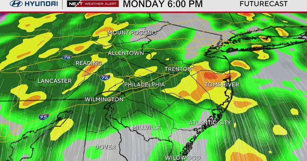
Forecasters predict that severe thunderstorms will likely begin around 2 p.m., bringing bouts of heavy rain, thunder, and lightning. Wind advisories are in effect until 2 a.m. Tuesday, with localized flash flooding possible near Philadelphia.
According to meteorologist Ray Martin, “This is unusually early” for such severe weather, emphasizing that “it’s a pretty significant threat”. A tornado warning indicates that a tornado has been spotted or detected on weather radar, prompting immediate action for residents to take shelter.
In contrast, a tornado watch means that conditions are favorable for a tornado to form. The tornado season in the area typically spans late spring to mid-summer, making this early warning particularly noteworthy.
The National Weather Service has provided an extensive list of tornado safety tips on its website, urging residents to stay indoors and remain vigilant. As the storms progress, observers will continue to monitor the situation closely.
Details remain unconfirmed regarding the extent of damage or specific impacts from the storms as they move through the region. Residents are advised to stay tuned for updates and take necessary precautions to ensure their safety.