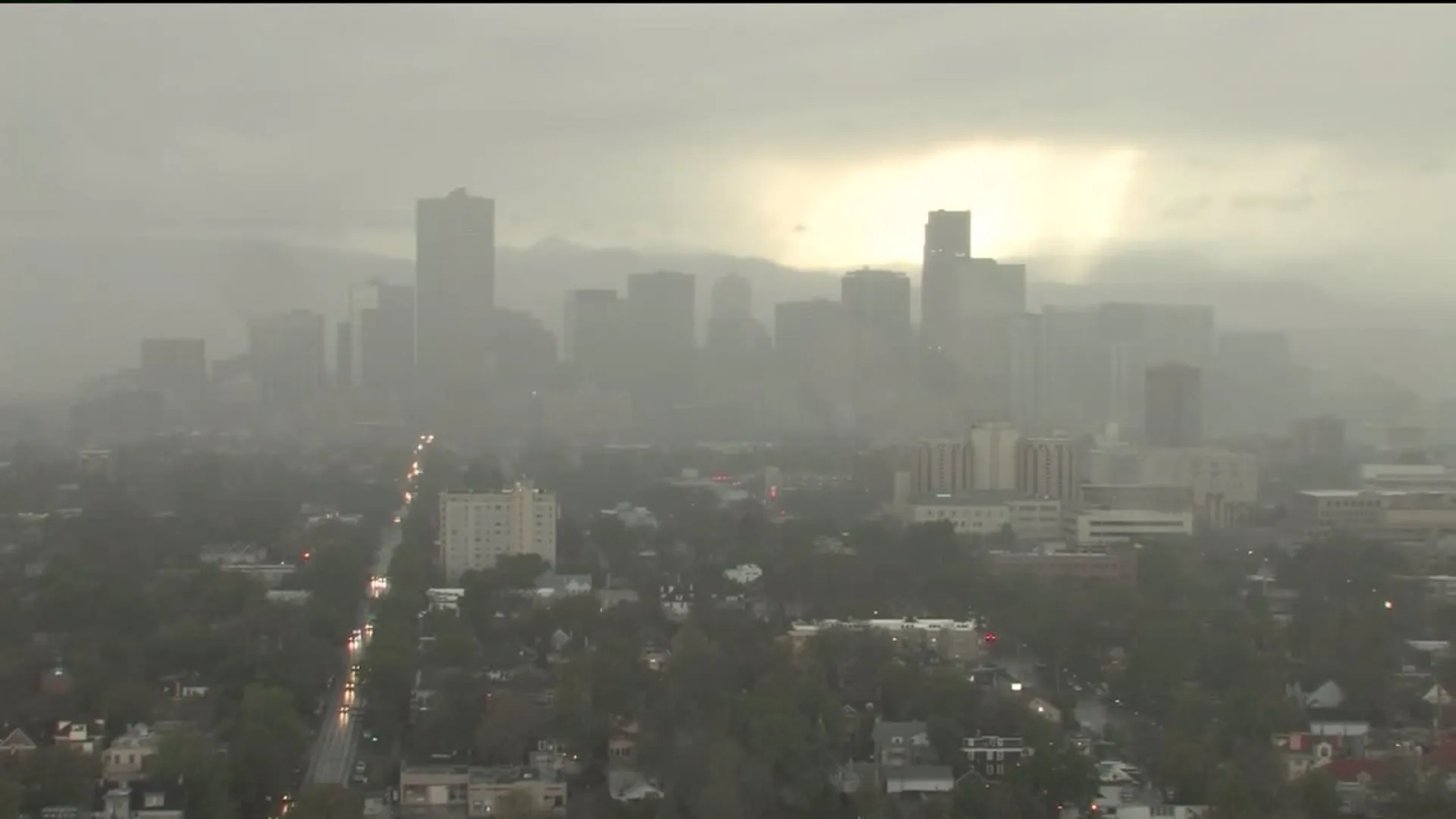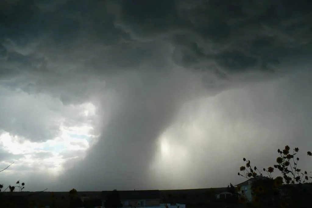
A tornado watch is in effect through 7 p.m. for the Delaware Valley, including Philadelphia. The Storm Prediction Center has warned that a few tornadoes are likely, with a couple of intense tornadoes (EF2+) possible.
Forecasters expect widespread damaging winds, with isolated significant gusts reaching up to 80 mph. The greatest risk for damaging winds and tornadoes is anticipated between 2 and 10 p.m..
Local school districts, including the Phoenixville Area School District, are dismissing students early due to the inclement weather. This precaution aims to ensure that students can return home safely ahead of the storms.
A tornado watch indicates that conditions are favorable for a tornado to form, such as possible rotation in the atmosphere. In contrast, a tornado warning means a tornado has been spotted or detected on weather radar, prompting immediate action for individuals to take shelter.
The National Weather Service has issued a tornado watch for the entire area starting from 11 a.m. until 7 p.m.. This alert covers multiple counties in Pennsylvania, Delaware, and New Jersey.
In addition to the tornado risk, the alert warns of potential wind gusts up to 80 mph and isolated bouts of quarter-sized hail. Forecasters have indicated that strong wind gusts will be among the greatest threats associated with the storm.
As the situation develops, observers are closely monitoring the weather patterns to confirm the presence of any tornadoes. Details remain unconfirmed.