Weather Expectations Before the Storm
Prior to the issuance of the winter storm watch, weather conditions across the affected regions were relatively stable. In Hawaiʻi, the weather was characterized by typical late winter patterns, with no significant storms on the horizon. Meanwhile, Michigan was experiencing mild temperatures, and Washington was not facing any immediate weather threats. However, this calm was about to change dramatically as meteorological conditions shifted.
Decisive Changes in Weather Patterns
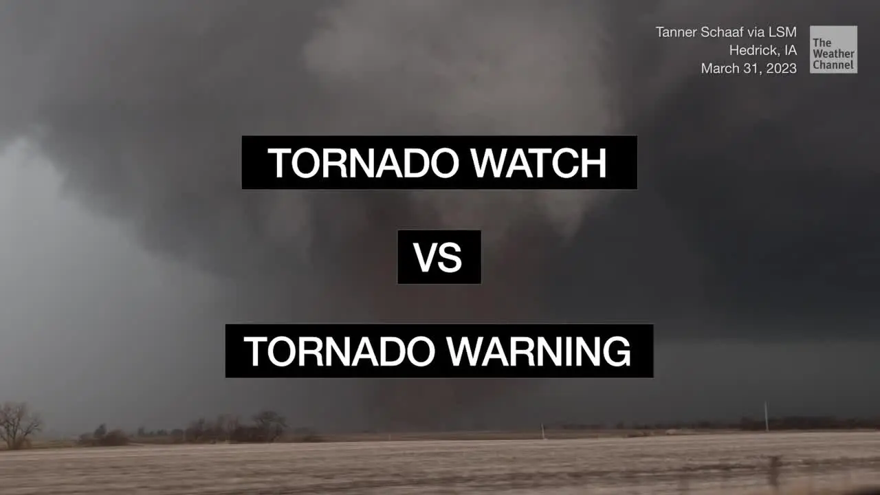
The National Weather Service announced a winter storm watch for the summits of Maunakea and Mauna Loa in Hawaiʻi, indicating that heavy snow accumulations of up to 8 inches are possible. This development is attributed to a powerful kona low moving over the islands from the northwest, drawing deep tropical moisture into the region. In Michigan, a flood watch has been issued due to heavy rainfall, with reports of 1.25 inches fallen at MBS International Airport and 1.5 inches in Saginaw. Additionally, a winter weather advisory has been declared for the Tri-Cities region and northern Thumb due to freezing rain.
Impact on Local Communities
The immediate effects of these weather changes are significant. In Hawaiʻi, the potential for considerable flash flooding is a concern, as noted by the National Weather Service, which stated, “Considerable flash flooding is possible beginning later today.” In Michigan, the heavy rainfall has already resulted in power outages, with 317 customers reported without power by DTE Energy and 9,077 by Consumers Energy. The combination of rain and freezing temperatures poses a serious risk for hazardous travel conditions and potential property damage.
Severe Weather in Washington
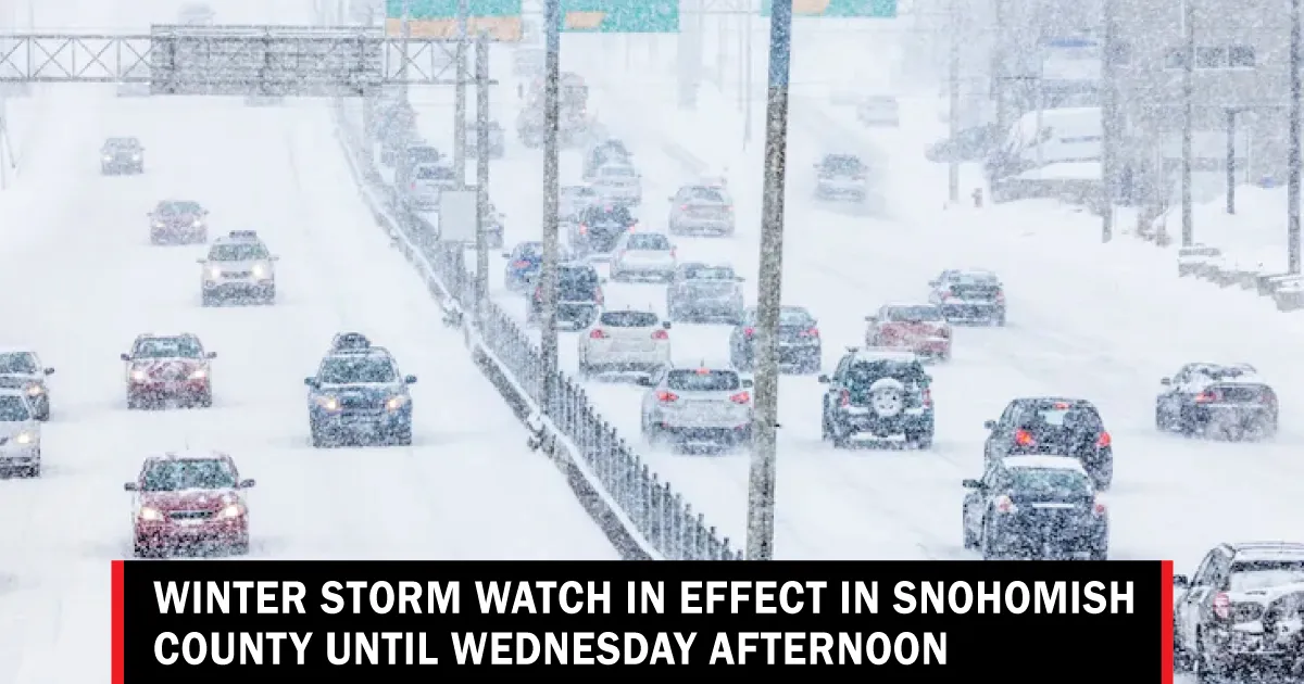
In Washington, a blizzard warning has been issued for the Cascades and Olympics, with forecasts predicting between two and four feet of snow through Thursday morning. Winds are expected to reach speeds of up to 55 mph, leading to blowing and drifting snow, which will severely reduce visibility. The warning indicates that heavy snowfall, combined with wind speeds of at least 35 mph, will create poor visibility conditions, potentially below a quarter mile.
Expert Perspectives on the Situation
Experts are weighing in on the severity of the upcoming storm. Ted Buehner, a meteorologist, described this late winter storm as likely to be the strongest of the season. The implications of such extreme weather are profound, affecting not only daily life but also emergency services and infrastructure. The National Weather Service has warned of ongoing thunderstorm activity in Michigan, further complicating the situation as communities brace for the impacts of both rain and snow.
Preparedness and Safety Measures
As the storm approaches, residents in the affected areas are urged to prepare for potential disruptions. In Hawaiʻi, individuals are advised to monitor local weather updates and be ready for flash flooding, especially in low-lying areas. In Michigan, the combination of rain and freezing temperatures necessitates caution on the roads, with authorities recommending that drivers stay informed and avoid unnecessary travel. In Washington, those in the path of the blizzard should secure their homes and prepare for possible power outages.
Looking Ahead
As the situation develops, it is crucial for residents to stay informed through local weather services and heed any warnings issued by authorities. Details remain unconfirmed regarding the full extent of the storm’s impact, but the potential for significant weather events across these regions is clear. Communities must remain vigilant as they navigate the challenges posed by this winter storm watch.