Pittsburgh Weather Update
As of March 10, 2026, the Pittsburgh area is preparing for a day of potentially severe weather. The National Weather Service has issued a First Alert Weather Day, indicating that residents should remain vigilant.
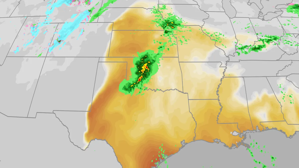
Starting around 2 p.m. today, the region is expected to experience the highest chance of severe weather, which may include thunderstorms, damaging winds, and even an isolated tornado. The risk is categorized as a level 2 on a scale of one to five for severe weather risk.
The National Weather Service has warned that “a few severe storms could be significant,” heightening concerns for local communities. The threat of tornadoes is particularly notable, with the likelihood peaking between 2 p.m. and 6 p.m.
In addition to the severe weather threat, there is a marginal risk of excessive rainfall. While a Flood Watch will not be necessary, minor flooding issues may arise in flood-prone areas.
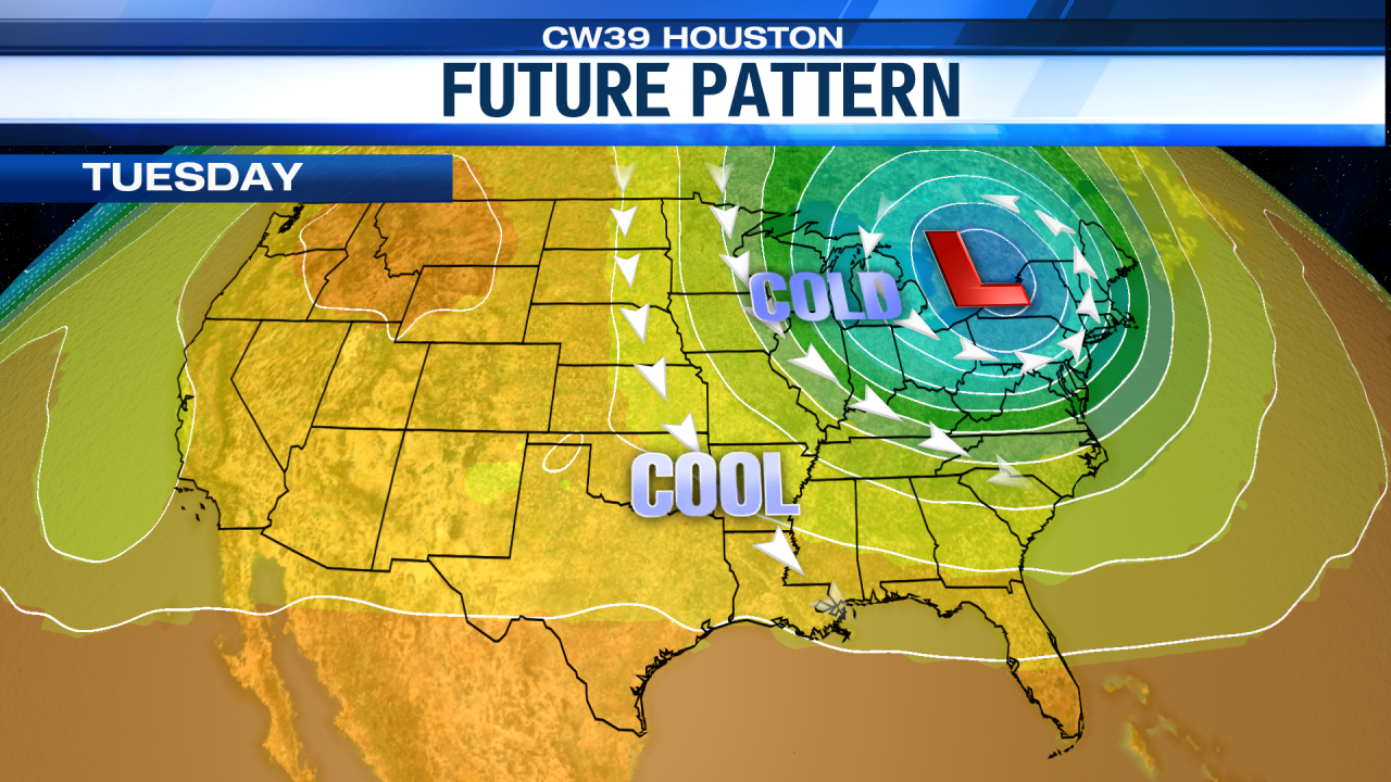
As the day progresses, rain and thunderstorms are anticipated to move across the region late tonight into Wednesday. Residents are advised to prepare for rapidly changing weather conditions.
Overall, the current state of Pittsburgh weather reflects a serious potential for severe storms that could impact daily activities and safety. Local authorities and the National Weather Service are closely monitoring the situation.
This sequence of events is crucial for those in the area, as it underscores the importance of staying informed about weather conditions that could affect safety and infrastructure.
Residents are encouraged to stay tuned to local news and weather updates for the latest information on the evolving situation.