In recent days, San Diego residents have enjoyed warm temperatures typical for early April, with highs reaching into the upper 80s to low 90s in the desert areas and mid-70s along the coast. However, expectations have shifted dramatically as a cooler and wetter pattern is forecasted to take hold by the end of the week.
The National Weather Service has indicated that temperatures will begin to fluctuate, with highs on Monday expected to be a few degrees cooler than previous days. By mid-week, coastal areas will see highs in the mid-70s, while inland regions will experience similar temperatures. In the mountains, highs are projected to be in the upper 60s to low 70s, contrasting sharply with the warmer desert conditions, which will still see highs in the upper 80s to low 90s.
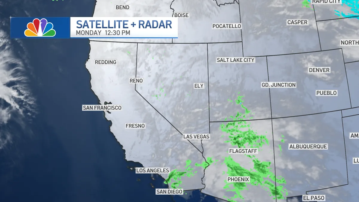
As the week progresses, a significant change is anticipated with rain beginning on Friday, potentially lasting through the weekend. Forecasts suggest that San Diego could receive a half-inch or more of rain by next Sunday, marking a notable shift from the dry conditions that have prevailed.
Additionally, the weather will bring low clouds and fog, which are expected to persist most nights and mornings. The marine layer will deepen as the week continues, although chances for dense fog are expected to lessen.
This shift in weather patterns is significant for the region, as it not only alters daily life for residents but also impacts local agriculture and water supply. Experts note that such changes can lead to improved conditions for crops that thrive in cooler, wetter climates.
Overall, the upcoming weather changes represent a stark contrast to the warm and dry conditions that have characterized much of the early spring in San Diego. Residents are advised to prepare for the cooler temperatures and potential rain as the week unfolds.