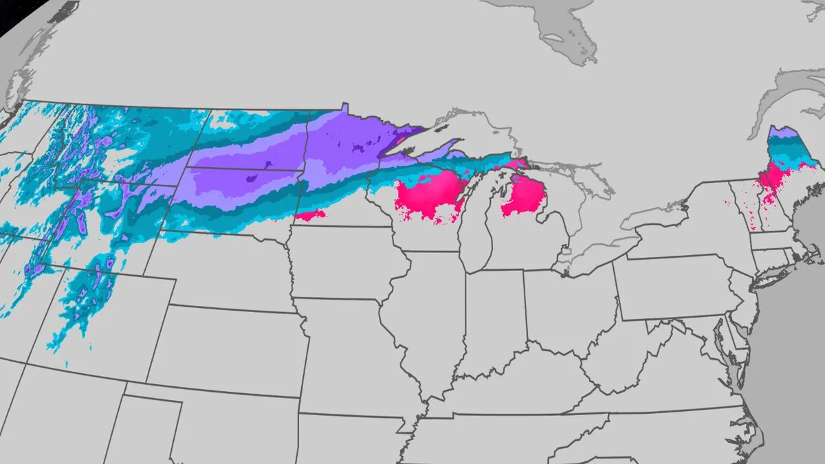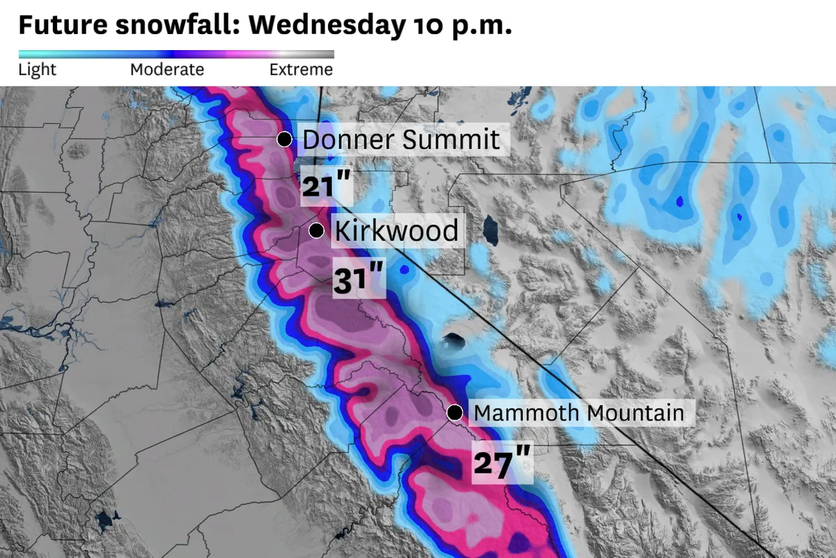
Winter storm warnings and advisories are in effect across the Sierra Nevada. The region is set to receive more than two feet of snow in some areas. This storm will significantly impact travel, especially on Interstate 80 and Highway 50 mountain passes, which could see over a foot of snow.
High-elevation ski resorts may receive up to three feet of snow. The heaviest snow is expected Tuesday afternoon and evening above 5,000 feet in the northern Sierra and above 7,000 feet in the southern Sierra.
Travel impacts are forecasted due to snowfall rates of one to two inches per hour. A winter weather advisory is also in effect for the Lake Tahoe area. Winds will accompany this storm, with gusts expected to reach 50 mph at mountain passes and up to 90 mph atop ridges.
The warnings extend from Lassen National Park to Yosemite, Sequoia, and Kings Canyon national parks. Chris Smallcomb noted, “The moisture trajectory is out of the south with this storm, and that is typically not good for spillover precipitation east of the Sierra crest.” This indicates potential complications for those traveling or engaging in outdoor activities.
This marks the second winter storm warning this month for the west slope of the Sierra. The weather service office in Sacramento has not issued this many warnings in a single April since 2010.
It is possible that a couple of the strongest storms produce a brief tornado on Tuesday, especially in the Sacramento Valley, according to meteorologist Dave Houk. Details remain unconfirmed.