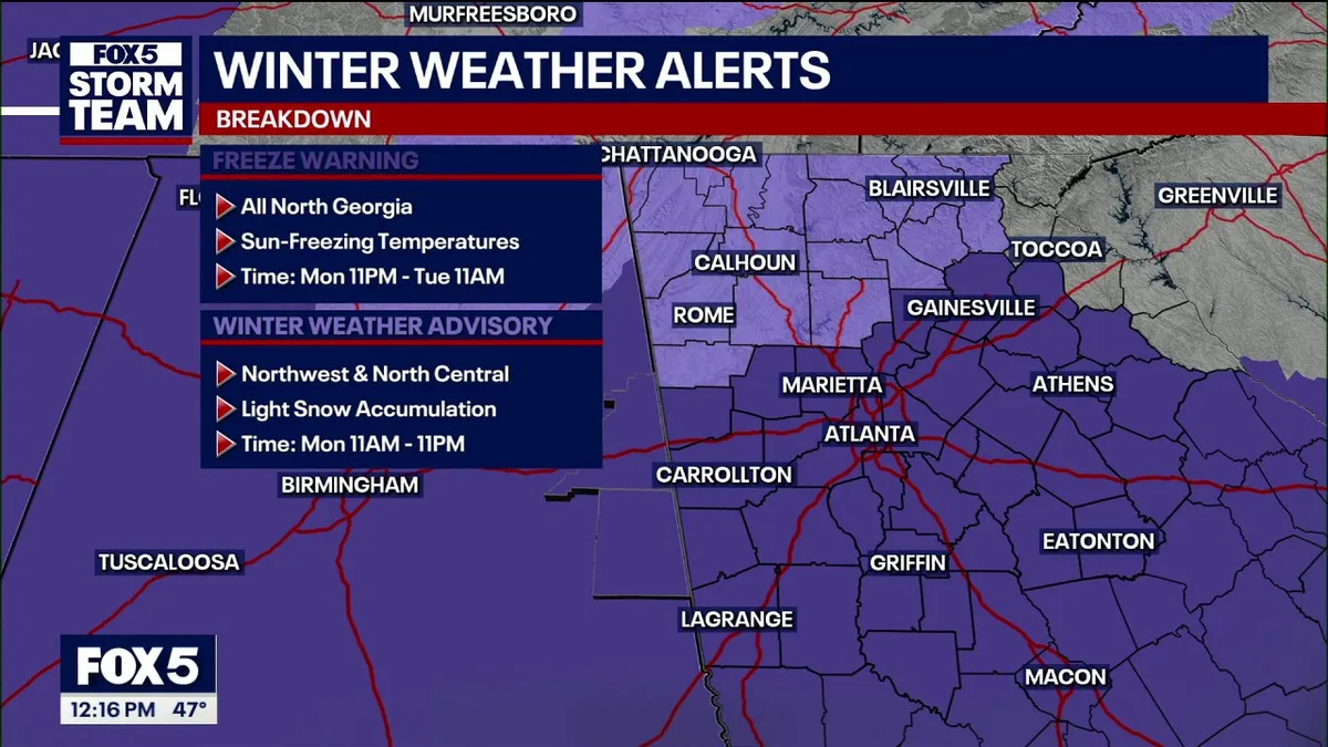
Severe weather swept through Georgia early Monday morning, prompting numerous severe thunderstorm and tornado warnings. As the day progresses, a Winter Weather Advisory has been issued for multiple counties in North Georgia, including Cherokee and Fulton counties.
Temperatures are expected to drop from a morning high of 66 degrees into the 40s this afternoon. A Freeze Warning will take effect at 11 p.m. tonight, with overnight lows anticipated to reach the widespread 20s.
The FOX 5 Storm Team is monitoring the potential for light snow showers or flurries to develop in North Georgia by Monday afternoon. Snow showers and heavier squalls are expected between 1 p.m. and 4 p.m., with visibility potentially dropping to 1/4 mile due to heavy snow showers combined with gusty winds.
Wind gusts of up to 70 mph were reported during the severe thunderstorms earlier in the day. As temperatures continue to drop, a low of 28 degrees is expected Monday night, which is below freezing.
On Tuesday, temperatures are projected to remain cold, with a high of 48 degrees and a low of 30 degrees. Warming centers will open in Atlanta on Monday and Tuesday nights to assist those in need.
Road surfaces should remain just wet due to earlier warm temperatures, but accumulations on grass and elevated surfaces could be generally a quarter-inch or less. Residents are advised to be especially cautious on bridges and overpasses.
While the wet weather may help alleviate some pollen in the air, the pollen count remains high going into next week. Observers suggest that the weather conditions will continue to be monitored closely as the situation develops.
As the winter weather unfolds, officials are urging residents to stay updated on the latest forecasts and to take necessary precautions, especially during the expected cold snap.