A severe thunderstorm watch has been issued for parts of the Chicago area as of March 26, 2026, at 4:21 PM UTC. This watch is particularly relevant for residents in LaSalle, Grundy, Will, and Kankakee counties in Illinois, as well as Lake, Porter, LaPorte, Newton, and Jasper counties in Indiana.
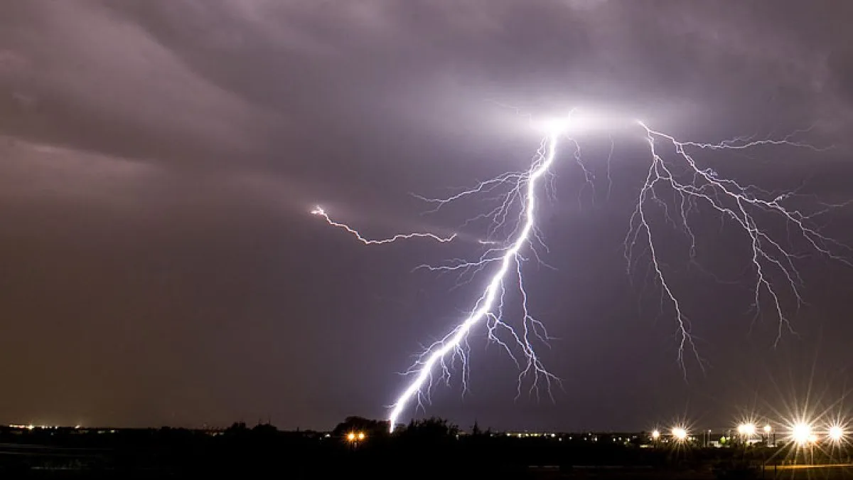
As the day progresses, strong-to-severe thunderstorms are predicted to develop, with the most intense activity expected between 6 PM Thursday and 1 AM Friday. The National Weather Service has indicated that large hail and damaging winds are the primary threats associated with these storms.
Wind gusts could reach up to 65 miles per hour, posing a risk to property and safety. Additionally, hail could exceed two inches in diameter, which could lead to significant damage to vehicles and crops.
Residents in the affected areas are advised to stay informed about the weather conditions and be prepared for rapidly changing situations. The severe thunderstorm watch is in effect through midnight Thursday, highlighting the urgency for vigilance.
Parts of the Chicago area are currently at an ‘enhanced’ risk of severe storms, which underscores the potential severity of the weather system approaching the region. Emergency services and local authorities are on alert as conditions evolve.
As of now, the situation remains dynamic, and updates will continue to be provided as more information becomes available. Details remain unconfirmed regarding the exact timing and intensity of the storms.
Residents are encouraged to monitor local weather reports and heed any warnings or advisories issued by meteorological authorities. The upcoming hours are critical for ensuring safety as the severe weather approaches.
In summary, the issuance of the severe thunderstorm watch serves as a crucial reminder for those in the affected areas to take necessary precautions and stay informed about the impending severe weather.